3D Matterport Scanning and Drone Services
3D Matterport Modeling
A 3D digital twin of the jobsite is created captured the industry-leading Matterport Pro cameras providing greater clarity for inspections and reports.
- Six lenses and sensors inside the Pro 2 capture 360-degrees at each scan point
- Capture existing conditions before beginning the design phase.
- Create virtual punch lists
- Label individual assets inside the module attaching photos and video.
- Capture 2D photos and download as Jpeg.
- Measurements are accurate to within 1% of reality.
- Reflected Ceiling Plan Image
- Use Point Cloud for accurate measurements
- Create a Dollhouse View in the 3D Showcase
- Take simple flat 2D photography from your Matterport Space
- Measure remotely — no need for a return site visit just to measure.
- Plan property layout and designs
Photogrammetry Drone Services
Interactive 3D Scanning is the best way for existing projects to receive the most accurate As-Built Documents. With our proprietary software powered by Matterport, you can see your project in the comfort of your home or office.
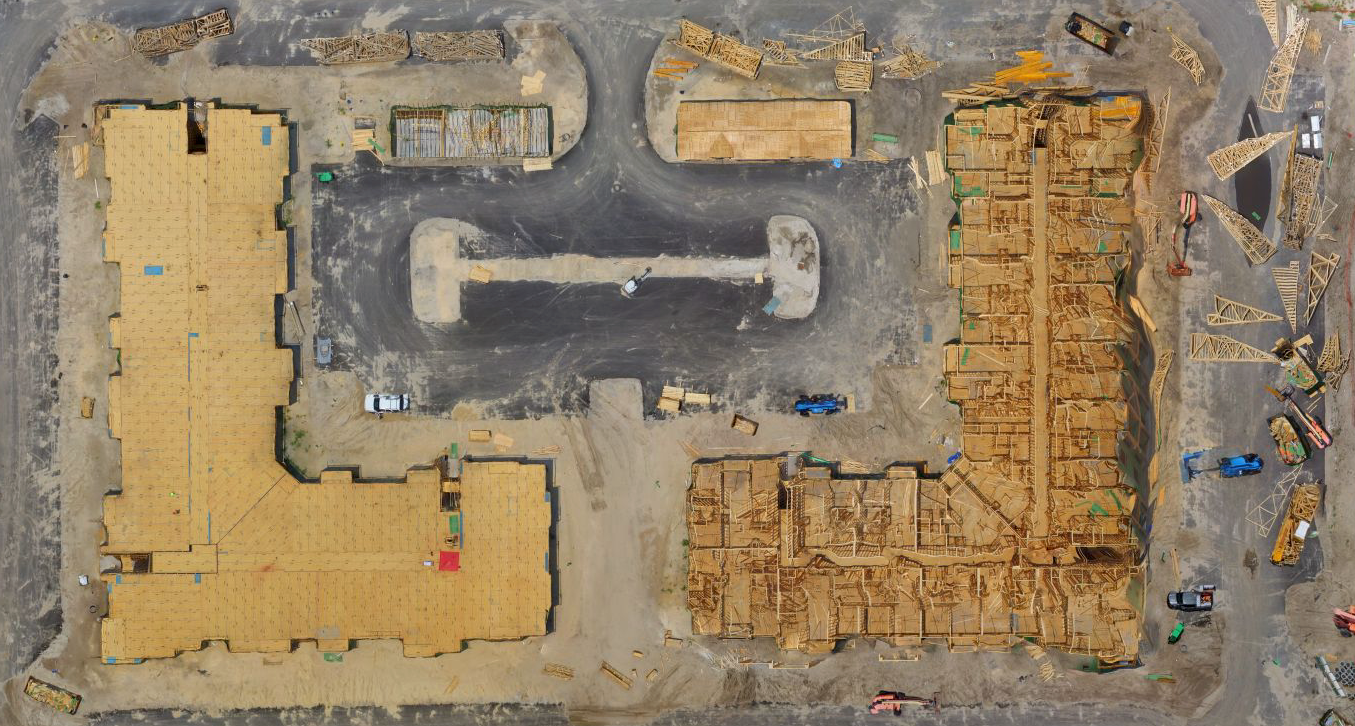
In addition to our 3D scanning, we use drones to help speed up and lower the cost of land surveying and mapping services with the ability to maintain a high level of precision and accuracy. From a single parcel to thousands of acres, we can provide imaging data to you directly or we can partner with your land surveyor, engineer or architect to augment their services to help lower costs and speed up service delivery. Our data can be used to produce a wide variety of work products including orthomosaic photos for detailed visual inspection of areas and topographic mapping.

Our Services
Construction Services
Get the help of our drone services when working on your new construction project.
Media Services
Drone Aerial Photography & Videos can highlight the attractiveness to prospective buyers.
Contractors:
Why Choose Us?
Streamline documentation and collaborate with ease. Provide accurate measurements to your subcontractors. Never miss another photo of your project with our 3D Scans. You will reduce trips to the site, saving your most precious commodity - Your Time.
The team with DMD Group has served Tampa, FL for over 40 years. In that time, we’ve learned a lot about managing projects and executing with success. Contact our team today by phone or use the form above to reach us and we’ll get back to you shortly to set up a meeting.
Contact Us
We will get back to you as soon as possible.
Please try again later.
Get Drone Services for your new builds: (813) 796-5574
CONTACT INFORMATION
Phone: (813) 796-5574
Email: support@dmdgroupllc.com
Address: 400 N. Ashley Drive, Suite 1900a Tampa, Florida 33602
BUSINESS HOURS
Mon -Fri 9:00am - 5:00pm
Sat Appointment Only
Sun Closed


